Birds of Lovozero
Link copied.
Birds year-round
All birds
All year




About the lake
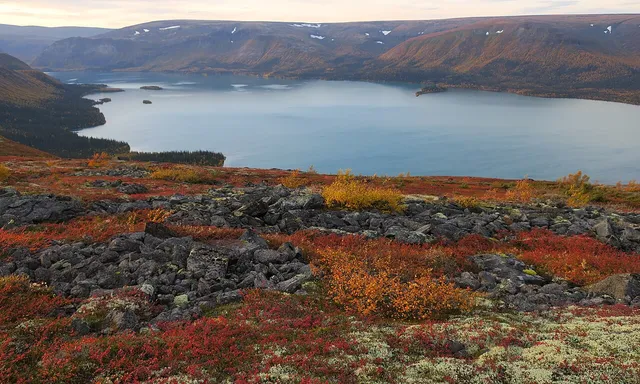
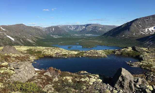
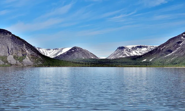
Lake Lovozero covers about 200 square kilometres, with the mountain massif of the Lovozerskiye Tundras forming its western edge. Its deeply indented shoreline breaks into capes and peninsulas, with islands including Semen and Ovechiy. Numerous streams and rivers enter the lake, among them the Virma and Sergevan; the Voronya flows out, carrying its water towards the Barents Sea.
Read more
The Kildin Sami name for the lake is Luyavvyr, in which the element yaavvr means “lake”. Local Sami interpret the first part of the name as referring to a “settlement of the strong by the lake”. In 1970, two hydroelectric power stations were built on the Voronya at Serebryansk, about 100 kilometres downstream. Their dam brought the reservoir to the lake’s water level, effectively joining the two bodies of water.
The lake has an average depth of 5.7 metres and reaches 35 metres at its deepest point. Its water level fluctuates by no more than 0.8 metres in an average year, and the average time for the water to renew is about ten months.
Getting there
Directions on the map you prefer