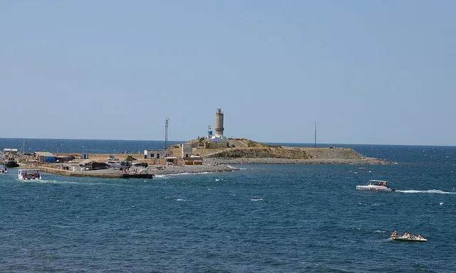
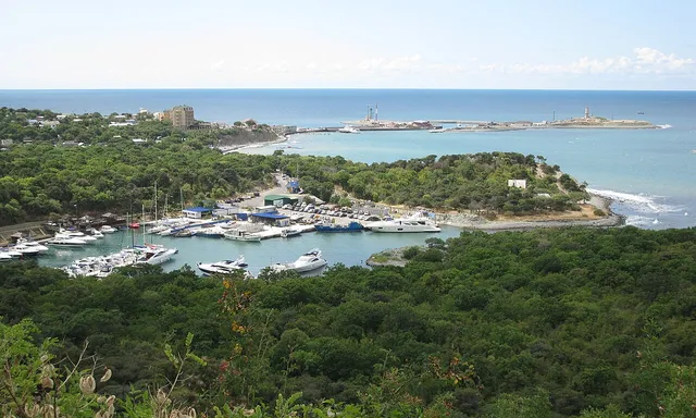
Lake Abrau
Link copied.
- Species
- ≈ 38 species Source, Species: Community observations: eBird and GBIF
- Best time
- June–July Source, Best time: Months with the most species, across all years of observations
- ≈ 38 species Source, Species: Community observations: eBird and GBIF
- June–July Source, Best time: Months with the most species, across all years of observations
Birds year-round
All birds
All year
Within 10 km

About the lake
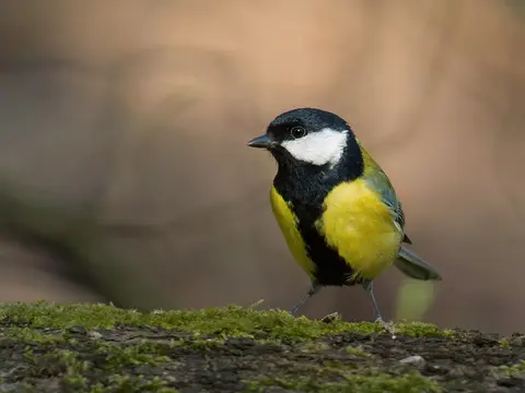
Lake Abrau stretches for more than 3.1 km along a deep valley on a low mountain peninsula, with a maximum width of 630 m; the isthmus between it and the Black Sea is less than 2 km across. Dissolved limestone gives the water a blue-white or emerald hue, though visibility reaches only about a metre. Vineyards cover parts of the valley slopes. The short Abrau River is the only year-round river flowing into the lake; other watercourses are temporary, and no river flows out. Water is lost through evaporation and underground seepage through the landslide barrier. The lake remains fresh, without marsh vegetation. In the dry Mediterranean climate, water levels are generally highest from November to March, when rain and wet snow fall, and lowest in summer.
Read more
Human use has altered the slopes around the lake. In 1870, a commission acting on the emperor’s orders surveyed the lake and its surroundings; in 1872, vineyards began to be planted here on the advice of French winemakers. Vineyard cultivation and road building increased erosion, and over the past century and a half the depth beside the landslide barrier has fallen from 30 m to 10.5 m. The origin of the basin remains disputed: explanations include a karst collapse, a remnant of an ancient freshwater basin, and a landslide dam. An earthquake that shifted the Earth’s crust near the barrier is considered the most plausible cause. The lake’s elongated outline follows the river valley, while there are no high peaks near the barrier from which immense landslides could have come.
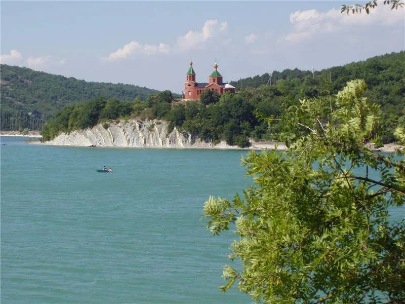
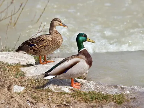
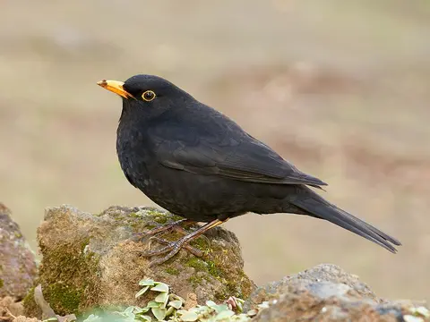
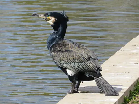
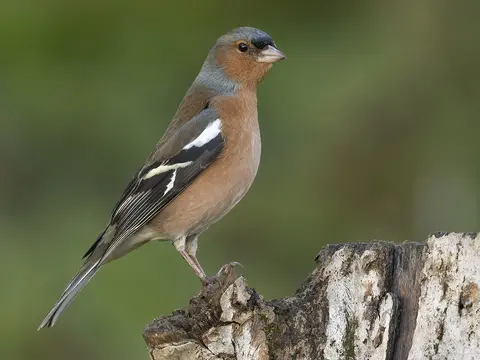
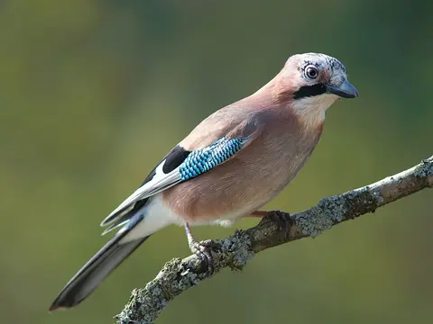
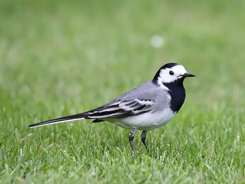
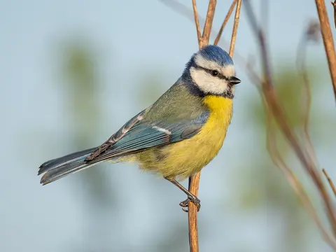
Birds recorded nearby include the mallard, Eurasian blue tit and common blackbird.
When there are more birds
Pick a month to see its birds
- Winter
- Spring
- Summer
- Autumn
Getting there
Directions on the map you prefer