Tavatui
Link copied.
- Species
- ≈ 61 species Source, Species: Community observations: eBird and GBIF
- Best time
- May Source, Best time: Months with the most species, across all years of observations
- ≈ 61 species Source, Species: Community observations: eBird and GBIF
- May Source, Best time: Months with the most species, across all years of observations
Birds year-round
All birds
All year
Within 10 km

About the lake
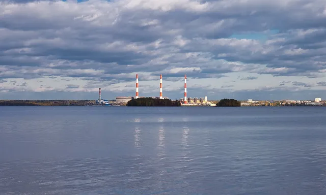
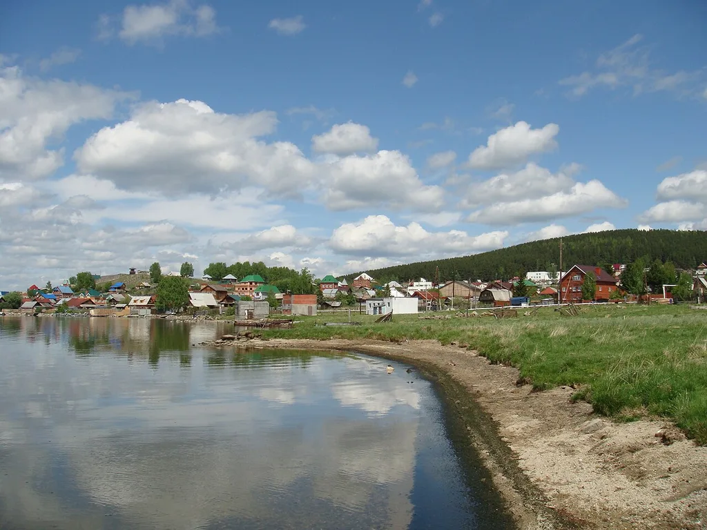
On the eastern slopes of the Urals, Lake Tavatui stretches about 8.5 km from north to south and is 3–3.5 km wide. Its basin lies in the western part of the Verkh-Iset granite massif, and granite blocks appear along the shore. The eastern shore is higher than the western, while the shoreline itself is only lightly indented. The islands differ in relief: Makaryonok and Golubev are hilly, while Splyven is low-lying. The lake averages about 5 m deep, and its water is transparent to a depth of 4–5 m and rich in oxygen. About thirty rivers and streams enter from cold springs and wellsprings, keeping the water near shore colder than in the centre. Near the south-western shore the lake begins to become overgrown; Shamanikha is its shallowest bay.
Read more
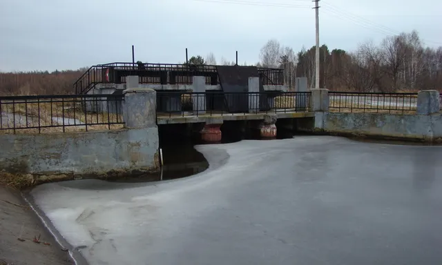
Young vertical movements of the Earth's crust shaped the basin, which filled with water in the post-glacial period; the lake is estimated to be about 10,000 years old. Tavatui belongs to the Neyva River basin, and water flows out from its northern end into Verkh-Neivinsky Pond. Before construction began on a dam on the Neyva in the mid-18th century, two lakes were known here: Big Tavatui and Small Tavatui, the latter lying to the south-west. The name has more than one proposed explanation. The Komi-Permyak words “ta va tui” are interpreted as “this waterway”, while local historian V. A. Lozhkin linked it to the Tatar “tau tui”, meaning “feast of the mountains”.
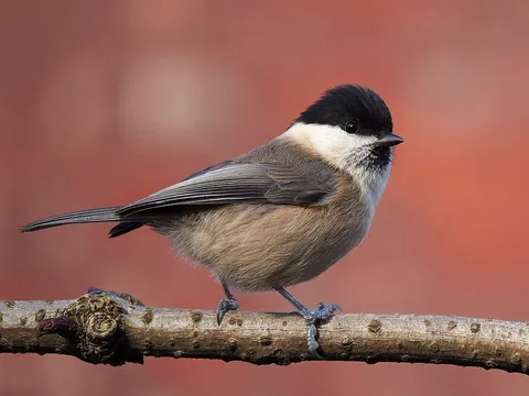
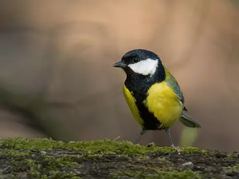
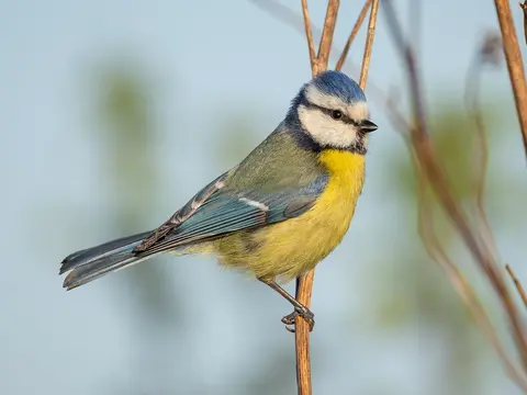
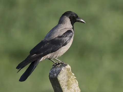
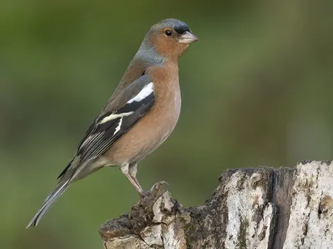
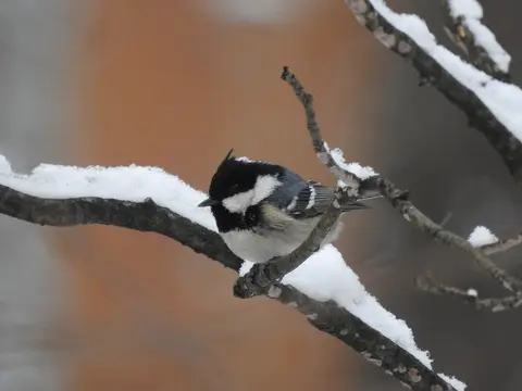
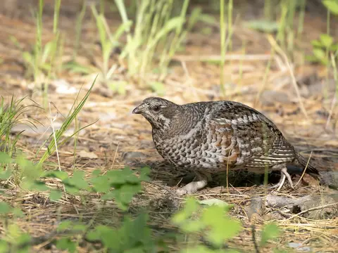
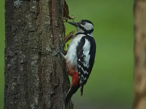
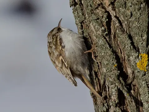
Birds recorded nearby include the willow tit, great tit, Eurasian blue tit, hooded crow and common chaffinch.
When there are more birds
Pick a month to see its birds
- Winter
- Spring
- Summer
- Autumn
Getting there
Directions on the map you prefer