Volchihinskoe vodohranilische
Link copied.
- Species
- ≈ 34 species Source, Species: Community observations: eBird and GBIF
- Best time
- June Source, Best time: Months with the most species, across all years of observations
- ≈ 34 species Source, Species: Community observations: eBird and GBIF
- June Source, Best time: Months with the most species, across all years of observations
Birds year-round
All birds
All year
Within 10 km


About the lake
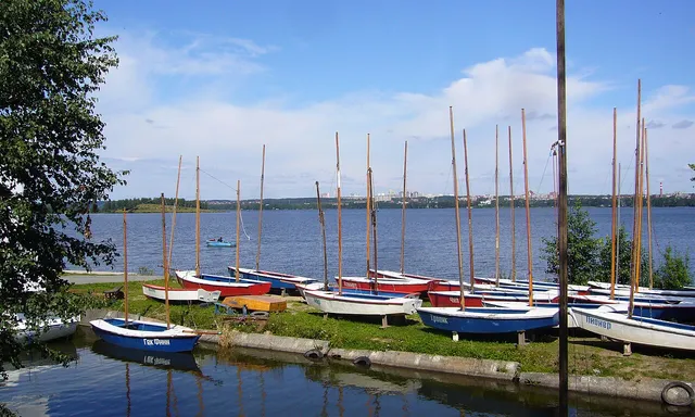
Volchihinskoe vodohranilische lies on the Chusovaya River at 300.5 metres above sea level, covering 37.1 square kilometres. The Yekaterinburg–Kazan railway follows its northern shore; beyond it rise Volchikha and Volchonok, along with the Grebni Ridge. The southern shore is backed by the Maslova, Zmeevaya and Belnikovskie mountains. In the south-west, the Yelchyovka, also called Istok, enters a large bay; part of the shore is marshy, with the Yelchyovskoye Marsh nearby. The reservoir has several islands, including Zmeiny, Koroviy and Lipovy, and low water can reveal additional island areas. Forests reach the water, and together with the shores they form the landscape reserve surrounding the reservoir.
Read more
The reservoir grew out of a long-standing need to supply Yekaterinburg with water. Attempts to use the Chusovaya for this purpose date back to the 19th century; later, the reservoir was incorporated into plans for a trans-Ural waterway intended to link the Volga and Ob basins. Yekaterinburg’s rapid industrial growth after the Urals Region was established in 1923 made water supply a particularly pressing issue. Construction of the dam began in 1940, and the reservoir was created by 1944. Water from here is routed towards the city’s treatment works through two canals: the eight-kilometre canal, built in the mid-1940s, leads to the Reshetka and then to the Upper Iset Pond; an 11-kilometre canal, dating from 1980, carries water to Novomoskovsky Highway.
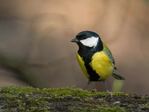
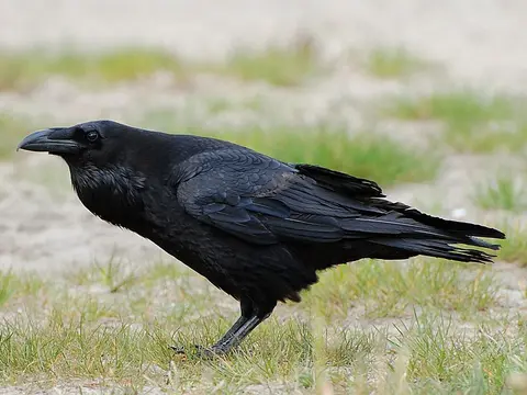
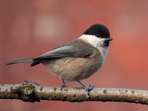
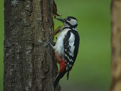
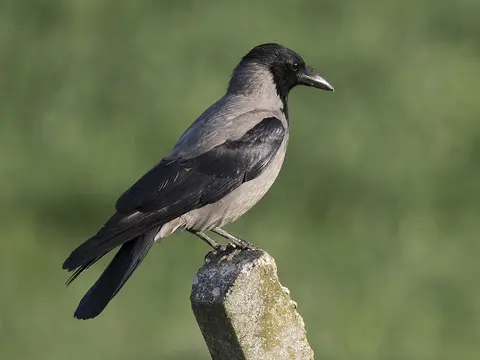
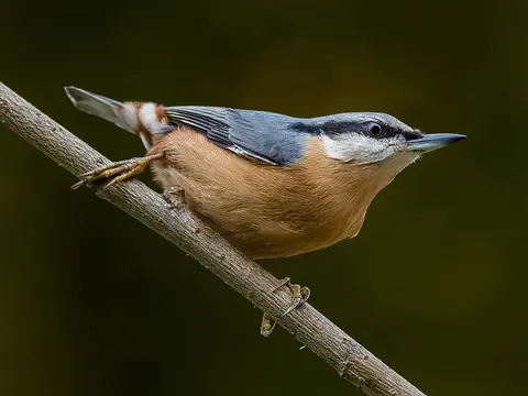
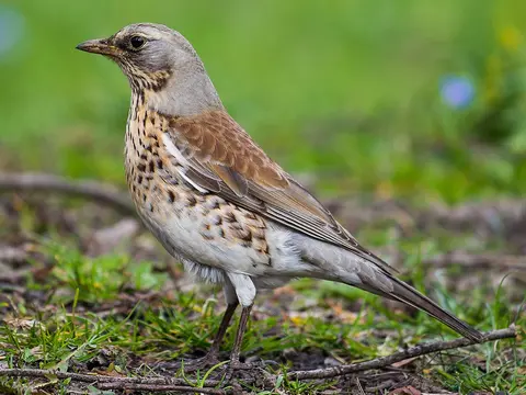
Birds recorded nearby include the great tit, common raven, willow tit, great spotted woodpecker and Eurasian nuthatch.
When there are more birds
Pick a month to see its birds
- Winter
- Spring
- Summer
- Autumn
Getting there
Directions on the map you prefer