Birds of Lakhtinsky Razliv
Link copied.
Rarely recorded

- Species
- ≈ 107 species Source, Species: Community observations: eBird and GBIF
- Best time
- April–June Source, Best time: Months with the most species, across all years of observations
- ≈ 107 species Source, Species: Community observations: eBird and GBIF
- April–June Source, Best time: Months with the most species, across all years of observations
Birds in October
All birds
October

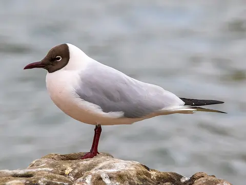
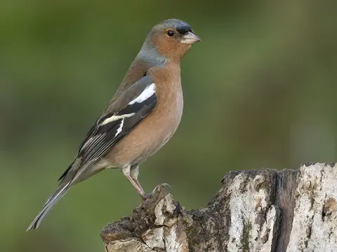
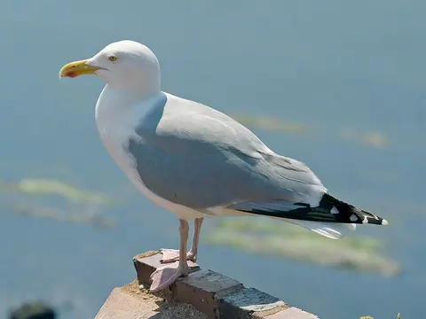
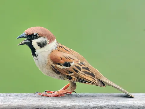
About the lake
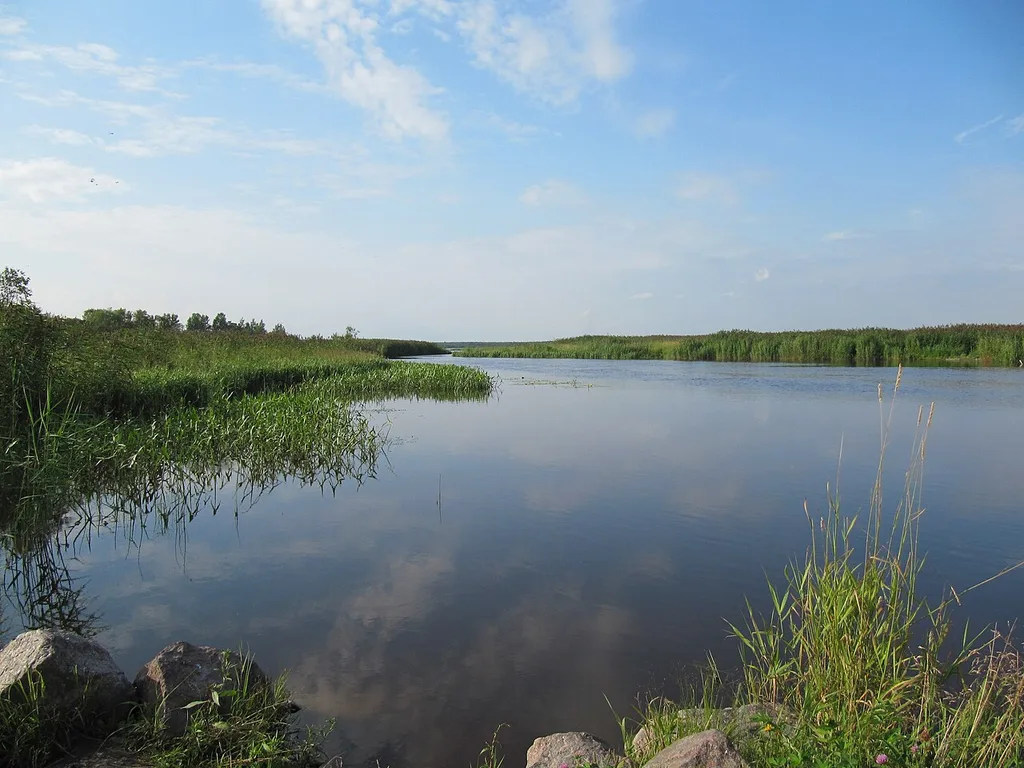
Lakhtinsky Razliv reaches deep inland from the Neva Bay in an irregular trapezoid, separated from the bay by a sandy spit. The railway and Primorskoye Highway run along the reinforced part of the spit. Low banks are marshy in places and overgrown with reeds and rushes. The northern end is shallow, to a depth of four metres, while the water deepens gradually towards the centre; hollows and rises break up the lake bed. The Kamenka, Yuntolovka and Glukharka flow into the lake, with the Yuntolovka and Glukharka forming its bays. Yuntolovskaya Forest Dacha reaches the water in the north, while the village of Lakhta and a forest nursery lie on the western shore. During surges from the Neva Bay, the water level can rise almost three metres above its usual level.
Read more
Before an embankment was built in the early 20th century, Lakhtinsky Razliv was part of the Gulf of Finland; the Finnish word lahti means “bay” or “inlet”. It remains connected to the Neva Bay by the Bobylka River, a channel about 500 metres long. The river’s name recalls Bobylskaya Sloboda, where in the 19th century former soldiers with nowhere to return were settled. The lake originally covered about 13 km², but land reclamation along the northern shore of the Neva Bay greatly reduced its area. Researchers in the early 20th century described depths of no more than 2–2.5 metres. Its maximum depth now reaches 8.3 metres, and dredgers apparently changed the lake bed’s relief substantially.
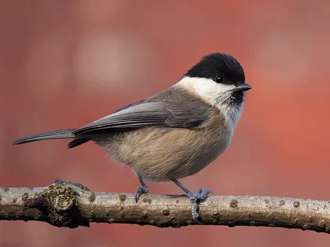
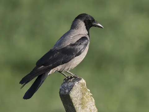
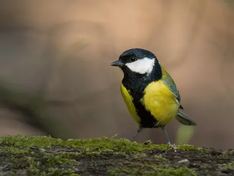
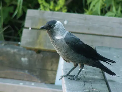
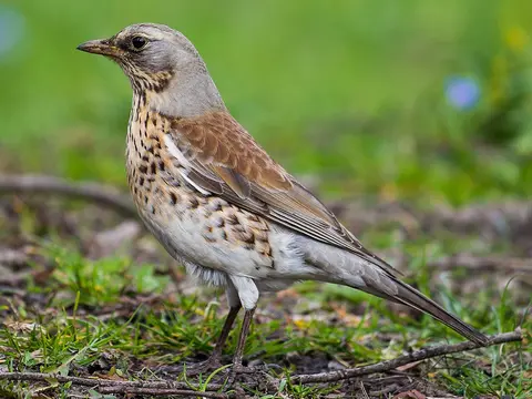
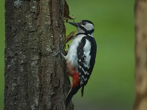
Birds recorded nearby include the hooded crow, great tit and Eurasian blue tit.
When there are more birds
October — 33 species
- Winter
- Spring
- Summer
- Autumn
Getting there
Directions on the map you prefer


