Malye Chany
Link copied.
- Species
- ≈ 60 species Source, Species: Community observations: eBird and GBIF
- Best time
- May Source, Best time: Months with the most species, across all years of observations
- ≈ 60 species Source, Species: Community observations: eBird and GBIF
- May Source, Best time: Months with the most species, across all years of observations
Birds year-round
All birds
All year
Within 10 km





About the lake
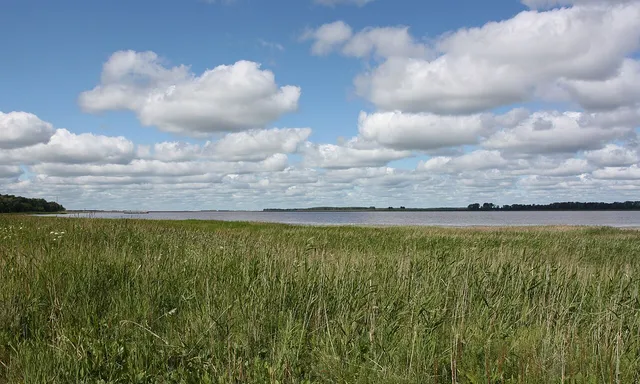
Deep bays cut into the north-eastern shore of Malye Chany, whose irregular coastline lies in the Baraba Lowland of the West Siberian Plain, in the southern part of the Ob–Irtysh interfluve. The Chulym River enters from the east. The lake is shallow, with an average depth of 1.4 metres, and seasonal changes in water level shift its area from about 190 to 200 square kilometres. At the north-western end, the 3.5-kilometre Kozhurla channel connects Malye Chany to the larger, more saline Lake Chany. Mineralisation is 600–800 milligrams per litre, rising to 1,000 milligrams per litre when the water level is low. The lake freezes in late October or early November and thaws in late April or early May.
Read more
A research station on the shore has studied components of the lake ecosystem since 1971. It is the Chanovsky research station of the Institute of Systematics and Ecology of Animals, Siberian Branch of the Russian Academy of Sciences. The lake is also important for commercial fisheries. The Maiskoye Utro nature reserve lies to the south, while Griva Vertkova Peninsula, covering 5.16 square kilometres, is designated a natural monument. Twenty plant and animal species found on the peninsula are listed in the Red Book of the Russian Federation.
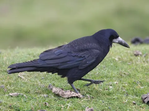
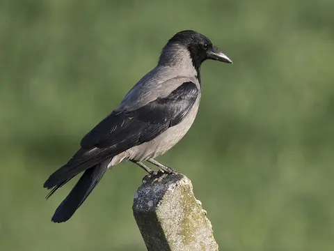
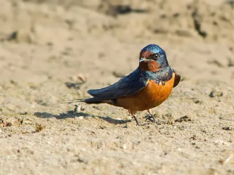
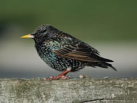
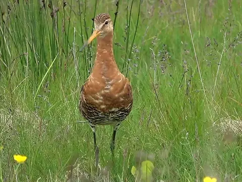
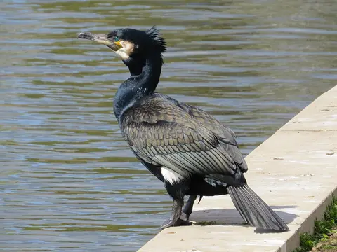
Seasonal migration routes of many bird species cross the lake, and some species nest there. Birds recorded nearby include the northern lapwing, rook, hooded crow, barn swallow and lesser black-backed gull.
When there are more birds
Pick a month to see its birds
- Winter
- Spring
- Summer
- Autumn
Getting there
Directions on the map you prefer